


Bronze Supporter
- Messages
- 8,659
- Reactions
- 12,971
The best maps tend to be USGS Topographical maps these once you know the quadrangle name of the map. There is actually a site where you can down load for free these maps at least for Oregon. I have in the past downloaded a couple dozen of the most detailed 7.5 min maps and printed them out putting them in a 3 ring note book. Take a lot of time. But well worth it if you need the mapsWho are your go-to sources for paper maps? I mentioned earlier the idea of using a phone app and a Garmin GPS ... device ... , where one would be the backup to the other, but what I really want to do is use compass and paper map as backup ... no electricity required (unless you want to make a convoluted case for the earth's magnetic field being a form of electricity).
I played around with compass and map a while back, and found this to be an interesting site
Cascade Orienteering
but I never got around to getting some "adult" maps of areas I might want to trek.
https://www.topozone.com/oregon/
Here is a site with some Indexes
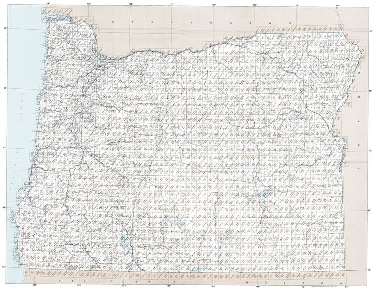
Oregon Topographic Index Maps - OR State USGS Topo Quads :: 24k 100k 250k
Online Oregon topographic index maps that you can use to locate USGS topo quads at 1:250,000, 1:100,000 and 1:24,000 scales.
 www.yellowmaps.com
and from the USGS itself
TNM Download v2
The TNM Download Client is built on modern web technologies and features a simplified approach to downloading products from The National Map.
I have from my dad maybe a hundred or more USGS topos that include ones from some of the first survey's of Oregon Dad was into collecting antique bottles and we would use the maps to find homesteads. As well as all the hunting he did.


